SPARC Research
GeoAI for Intelligent Mapping

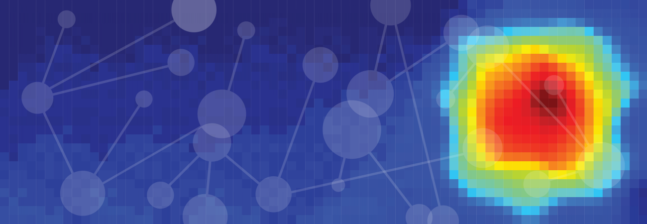
Geospatial Artificial Intelligence, or GeoAI, represents an exciting transdisciplinary field that integrates AI, big data, and high-performance computing to address critical social and environmental science challenges through data-driven discovery. SPARC faculty are at the forefront of advancing GeoAI technology to support large-scale, intelligent mapping of the Earth's natural and built environments. In addition to developing spatially explicit AI methods, SPARC’s GeoAI research, led by Dr. Wenwen Li, also tackles key topics that advance the Science of GeoAI. These include GeoAI model explainability, reproducibility, replicability, and social responsibility. The suite of GeoAI methods and techniques has been applied to various domains, such as flood mapping, wildfire mapping, landslide mapping, and permafrost thaw mapping, significantly enhancing our ability to conduct near-real-time monitoring of the Earth’s changing environment.
Generative AI

Generative AI, particularly large language models, has revolutionized natural language processing, enabling advancements in information extraction and semantic search across vast data repositories. It has also significantly enhanced geospatial data analysis. SPARC researcher Dr. Wenwen Li and her group have developed a Generative AI-enhanced framework for spatiotemporal event search and recommendation. By integrating spatial knowledge into Generative AI models (e.g., Google Gemini and OpenAI GPT), the framework can reason over events, extracting key spatial, temporal, and semantic characteristics to improve the understanding of multimodal data (e.g., text and images). Generative AI is also leveraged to automatically extract spatial concepts and relationships from text sources like Wikipedia, enhancing spatial reasoning through knowledge graph embedding. Read more about our work here and here.
Arizona Mental Health and Substance Abuse App
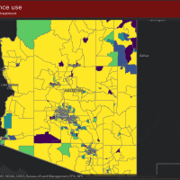
The Arizona Health Care Cost Containment System (AHCCCS), in collaboration with Arizona State University (ASU), launched a project to address the medication for opioid use disorder (MOUD) treatment disparities for Pregnant and Parenting Women (PPW) with Opioid Use Disorder (OUD). This initiative focused on developing a comprehensive mapping system to capture and illustrate a wide range of clinical, geographical, and demographic data, offering a detailed view of treatment availability and needs across Arizona. We created a unique composite risk score to measure the community-level risk for future opioid overdoses.
Historical Urban Development

In the United States, nearly 81% of the population lives in an urban area. The pace of urbanization has rapidly increased throughout the past 200 years, yet we still need to gain a clearer view of how cities have developed in the past. Using over 200 million property records provided by Zillow, Dr. Dylan Connor and his team produced a high-resolution analysis showing the evolution of US cities from 1810-2015. Distinct patterns emerged through their analysis, such as densification and diffusion across regions, which are linked to broader development trends. Access to this new dataset and the application of their innovative methods provide a unique opportunity to study long-term urbanization patterns from a land-based perspective. Dr. Connor and his team have made these data publicly available through the Historical Settlement Data Compilation. Understanding the complex development of urban areas has always been challenging, but aided by extensive meta-analysis, this research will help us better understand urban development with the potential to design more equitable and sustainable cities.
Mapping the Health of Communities

The Arizona Healthy Community Map is a joint effort of Arizona State University’s School of Geographical Sciences and Urban Planning, SPARC researchers and Vitalyst Health Foundation to develop a statewide, publicly accessible interactive map and database of social and environmental conditions related to neighborhood health in Arizona. The purpose of the map is to promote awareness and provide information about health opportunities and disparities among diverse communities within the state.
Historical Immigration

Emma Lazarus’ poem on the pedestal of the Statue of Liberty reads: “give me your tired, your poor, your huddled masses yearning to breathe free” – a welcome to the tens of millions of immigrants fleeing European poverty for the United States in the 19th and early 20th century. SPARC researcher, Dylan Connor, asks whether Irish emigrants were, in fact, Europe’s tired and poor, and examines the factors associated with their economic attainment in the United States. By analyzing hundreds of thousands of historical census records, he found that while the children of poorer farmers and illiterate men were more likely to leave Ireland, their humble origins did not appear to hinder their American-born children. Connor also determined that their economic success was heavily determined by where they settled in the United States. In a compelling story – relevant to conversations regarding immigration today – his research validates that many immigrants fared well and made great contributions to the US economy, despite their modest backgrounds.